[Back to Narrabri Weather Home Page]

Narrabri Storms 7-12th February 2007


The period Wednesday 7th - Monday 12th February 2007 saw some severe thunderstorms throughout NSW, including a supercell near Lithgow that produced 6cm hail and 113km/h wind gusts at Scone that prompted 55 calls to the local SES.

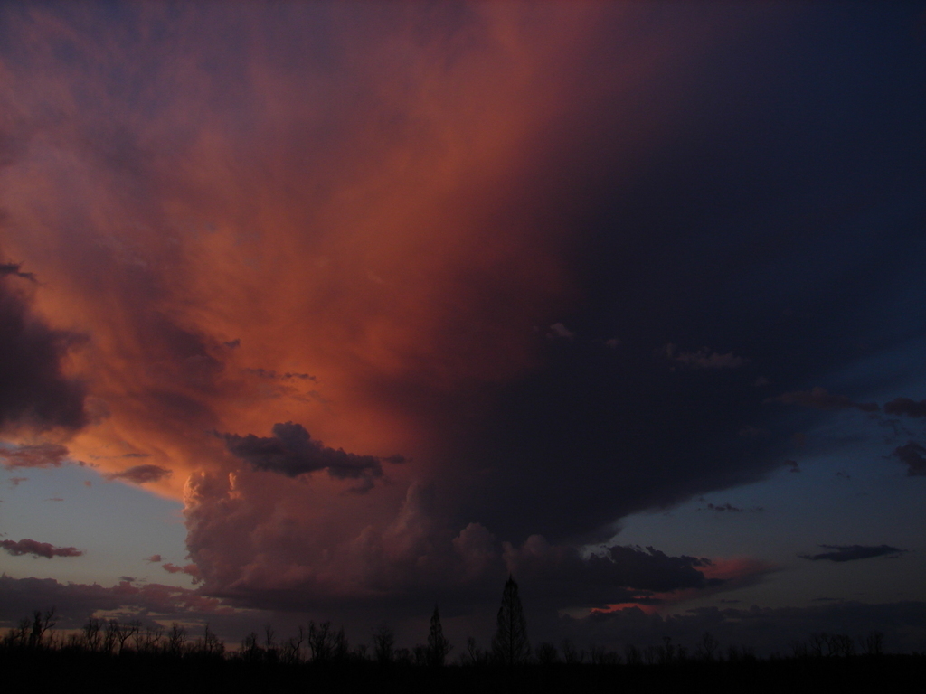
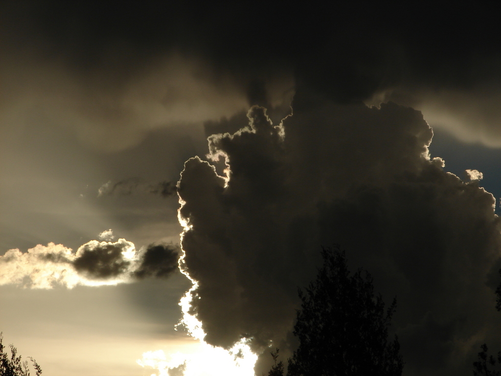
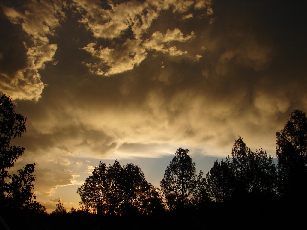
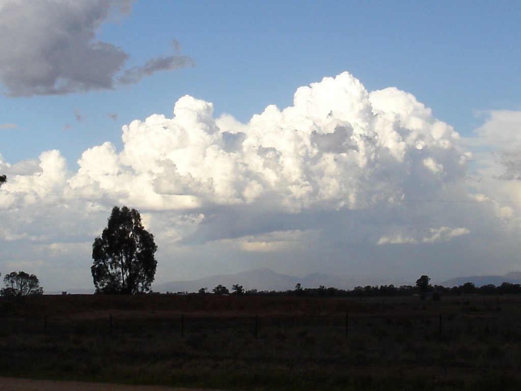
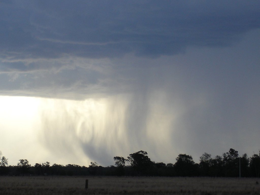
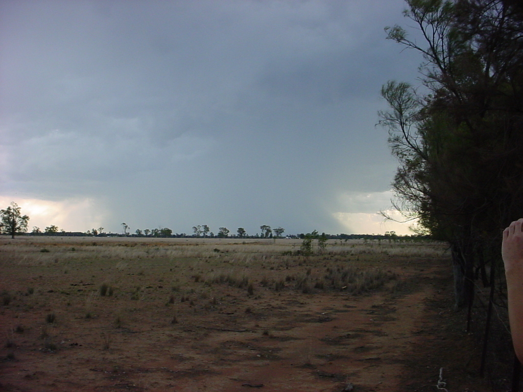
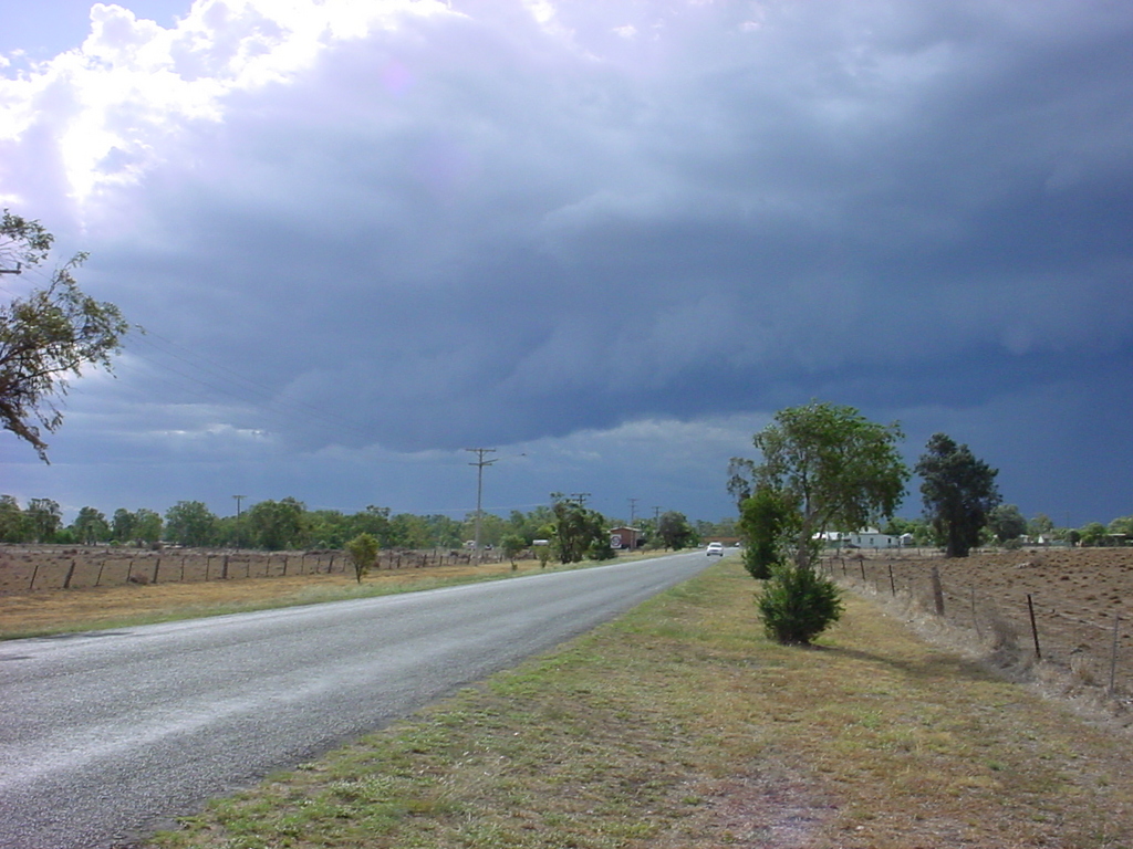
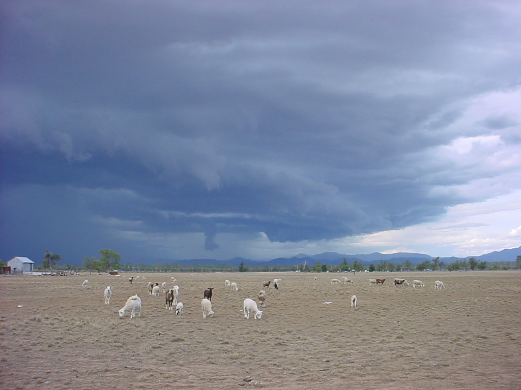
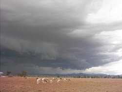
There were many active storms around Narrabri during the period although only no more than about 20mm of rainfall was recorded on the network of local weather stations throughout the period. Some people out of town reported heavier rainfall.

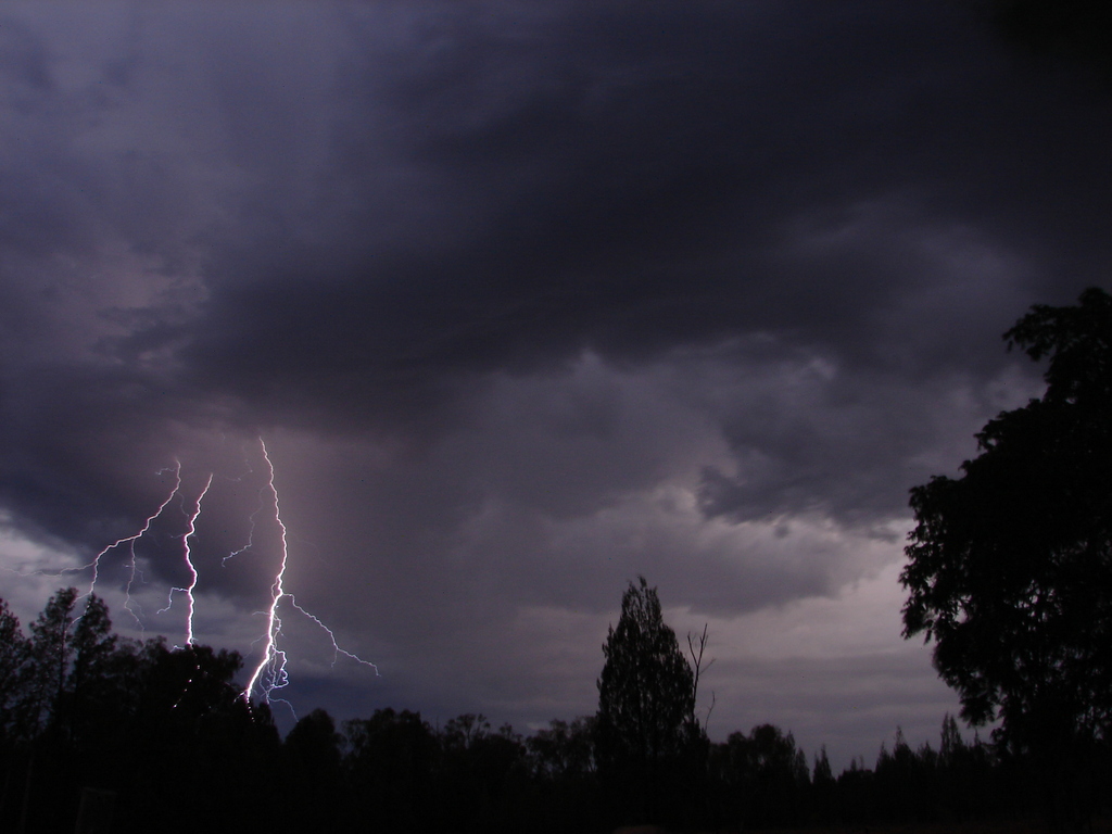
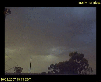
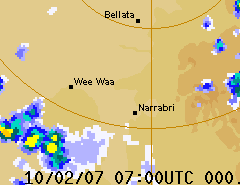
The first widespread rain occurred on Saturday the 10th when a line of electrically active cells moved in from the west. The RADAR loop to the right (courtesy of the Bureau of Meterology) shows this event. The lightning detector at the Australia Telescope peaked at about 1200 strikes within 56km over a 15 minute interval. The photo sequence left shows a lightning strike from the Culgoora webcam.

Monday the 12th saw some very heavy rainfall just North of Narrabri. This was associated with a squall line that at one stage went all the way from Rowena to Stanthorpe. The Myall Vale weather station recorded 15mm in an hour on this day.


Shot of a photogenic cell that developed over the western Pilliga on Thursday the 8th from Yarraman Rd. Photo by Chris Allen. Storm cloud at sunset, looking to the east from the forest on Thursday the 8th from Yarraman Rd. Photo by Chris Allen.
Nice illumination of this storm cloud on Friday the 9th. Looking SW from Kaputar Rd. Photo by Chris Allen. Storms on Friday the 9th. Looking west from Kaputar Rd. Photo by Chris Allen.
There was a prominent inflow band below this storm over Castletop on Saturday the 10th. Photo by Matthew Reid. Probable microburst about to make contact with the ground. Looking towards Cuttabri on Saturday the 10th. Photo by Matthew Reid.
Very heavy rainfall, possibly containing hail, looking towards Cuttabri from the Yarrie Lake Rd on Saturday the 10th. Photo by David Brodrick. A circular base feature just SW of Narrabri on Saturday the 10th. Photo by Chris Allen.
Later photo of the cloud base and circular feature just SW of Narrabri on Saturday the 10th. Photo by Chris Allen. The final stages of the base feature just SW of Narrabri on Saturday the 10th.Photo by Chris Allen.
Nice shot of lightning and rainbow seen from Jacks Ck on Saturday the 10th. Photo by Chris Allen. Photo of cloud base and lightning seen from Jacks Ck on Saturday the 10th. Photo by Chris Allen.
Shelf cloud over Narrabri on Monday the 12th. Photo by David Brodrick. Shelf cloud and other lowerings looking east of Narrabri on Monday the 12th. Photo by David Brodrick.
Inflow bands and very heavy rainfall looking east of Narrabri on Monday the 12th. It's hard to see but there is also fog on the mountains just ahead of the rain. Photo by David Brodrick. Movie showing inflow features of the storm on the 12th. Movie by David Brodrick.