


| Avg Temperature: 13.5 °C Δ Yesterday: 2.1 °C | Apparent Temp: 11.9 °C | Avg Humidity: 69 % | Wind Vector: 4.4 km/h SSE | Max Rainfall: 0.0 mm |
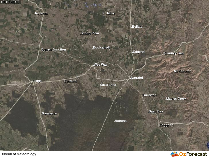
Regional Weather Stations
|
|
Narrabri Forecast
This table displays multiple weather forecasts. The Australian Digital Forecast Database (ADFD), Operational Consensus Forecast (OCF), and Precis text forecasts are courtesy of the Bureau of Meteorology. The Global Forecast System (GFS) weather forecast is obtained from NOAA NOMADS.
Local Webcams


|

|

|
Local RADAR and Lightning
The Narrabri Shire Weather Station Network is a project of Oz Forecast, ABN 61 167 720 152.
Please email us any questions or suggestions for the site.
This information is automatically generated, is not quality controlled and may not update in a timely manner. You accept all risks and responsibility for losses, damages, costs and other consequences resulting directly or indirectly from using this site and any information or material available from it. To the maximum extent permitted by law, Oz Forecast excludes all liability to any person arising directly or indirectly from using this site and any information or material available from it.
