 |
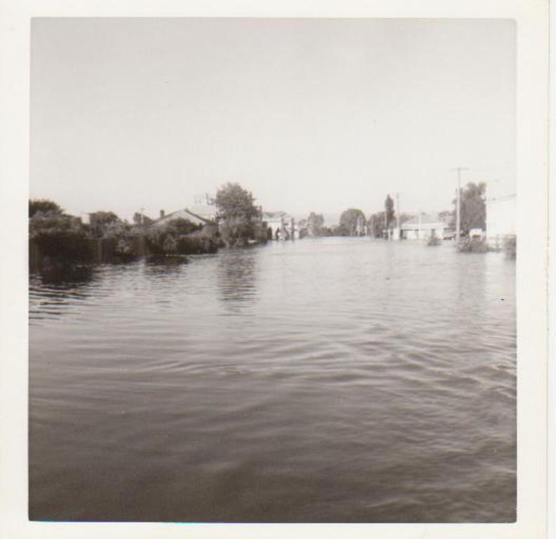
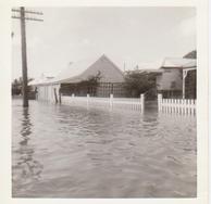
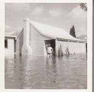
The peak of the flood in Balonne St. Photo courtesy of Elaine Simpson. |
 |
The peak of the flood in Balonne St. Photo courtesy of Elaine Simpson. |
 |
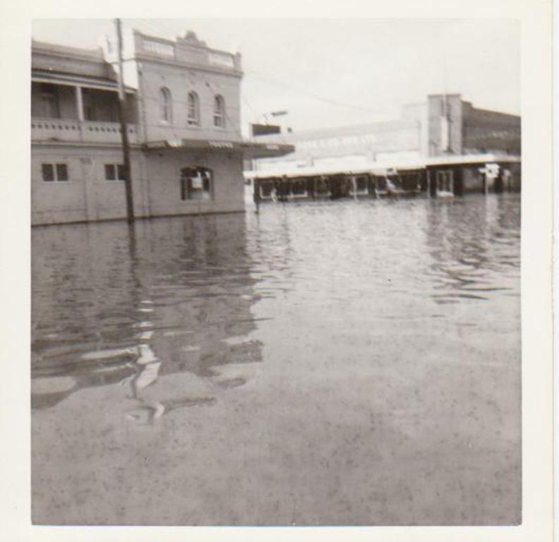
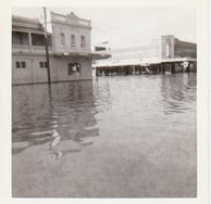
Corner of BAlonne and Lloyd Streets, looking towards the Commercial Hotel. Photo courtesy of Elaine Simpson. |
 |
Tibbereena St taken from the corner where Max's Spares is located. Photo courtesy of Elaine Simpson. |
 |
The Club House Hotel taken as the water was receding. The water level at the
peak of the flood is the line just below the window. Photo courtesy of Elaine Simpson. |
 |
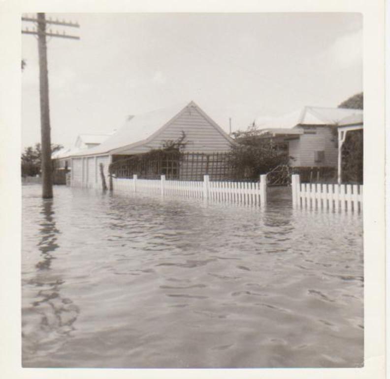
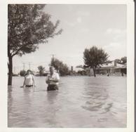
Flood water rising in Balonne St. Photo courtesy of Elaine Simpson. |
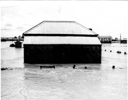 |
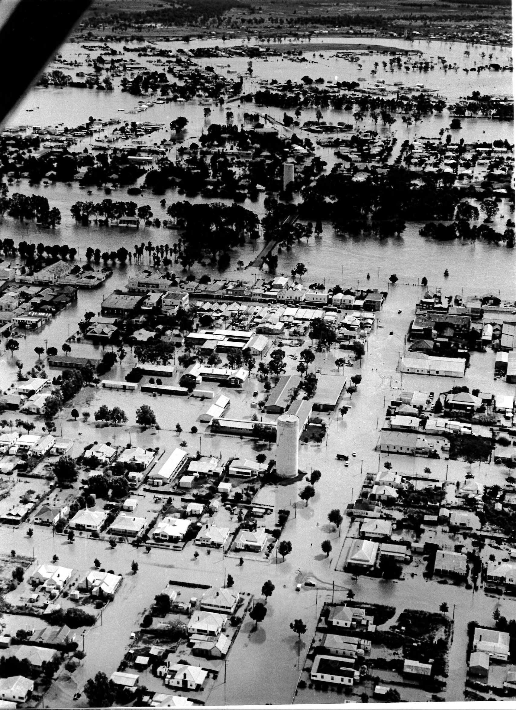
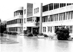
Photo courtesy of Brian Madden. |
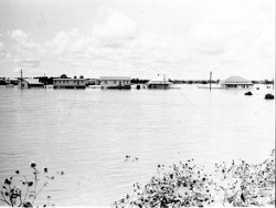 |
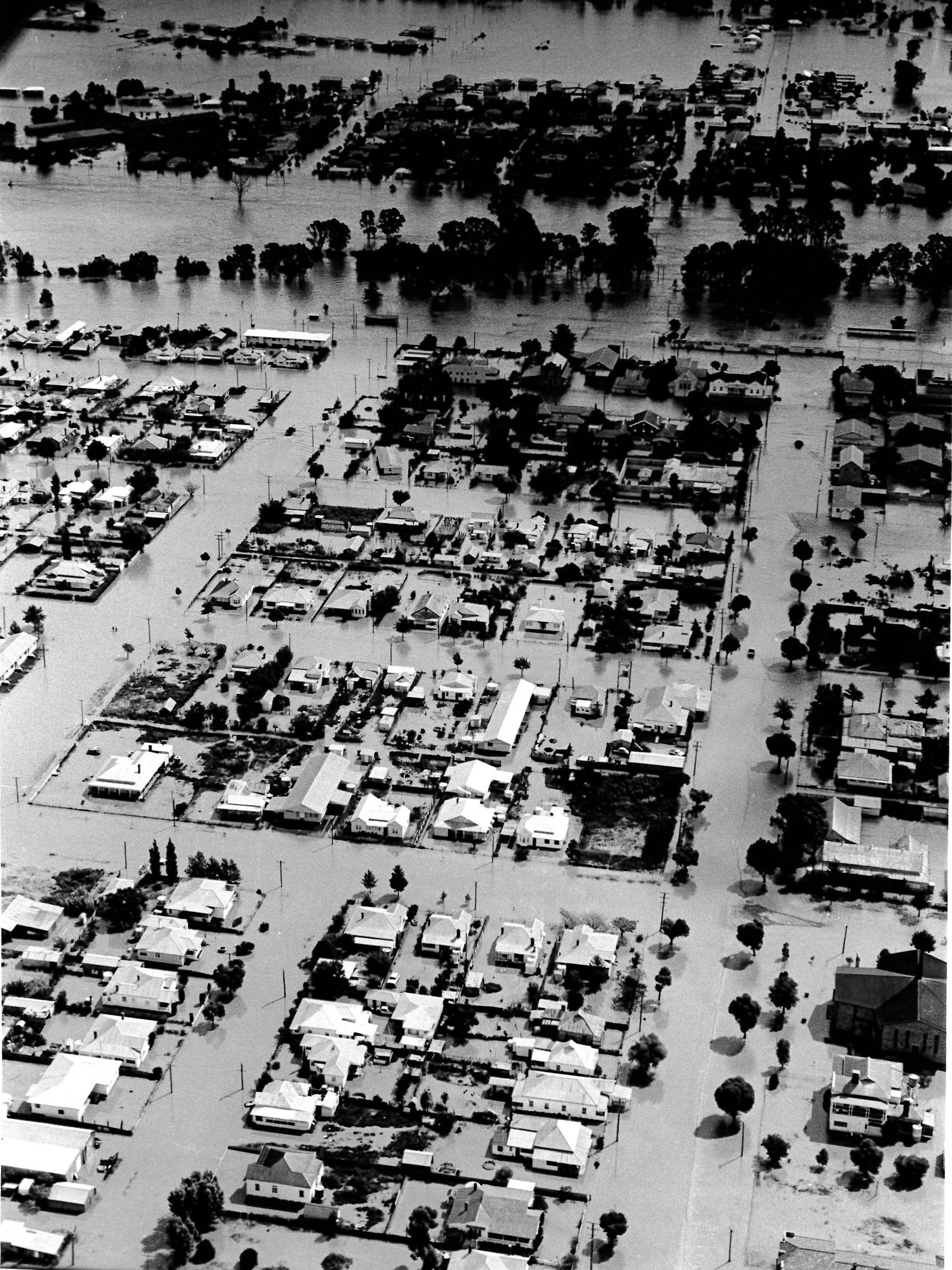
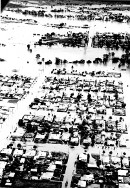
Photo courtesy of Brian Madden. |
 |
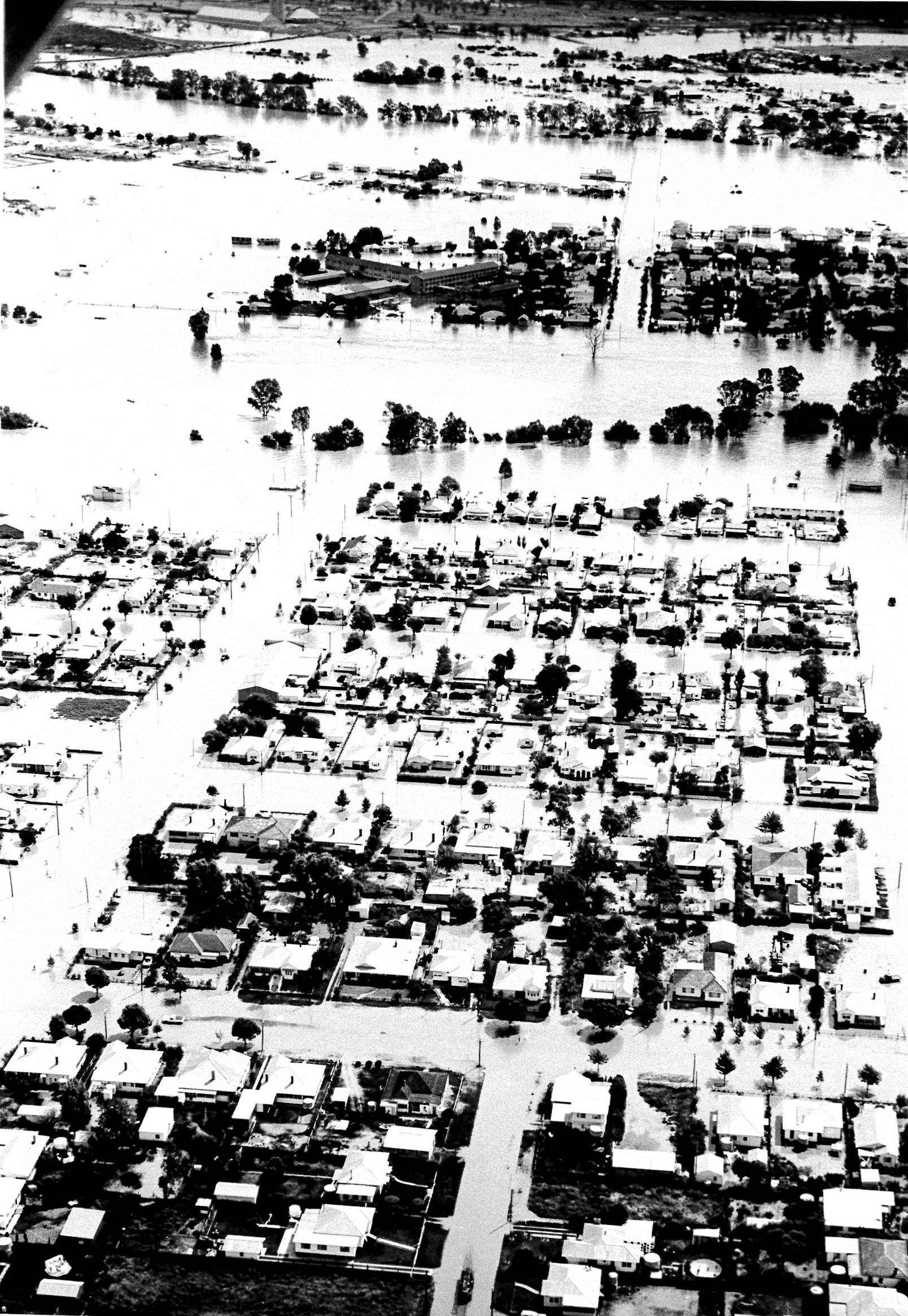
Looking along Doyle Street, with the Public School in the centre of the shot and showing the big bridge. Photo courtesy of Brian Madden. |
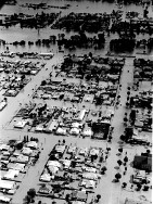 |
The area between Dewhurst and Bowen Streets. The Catholic Church is on the bottom right. Photo courtesy of Brian Madden. |
 |
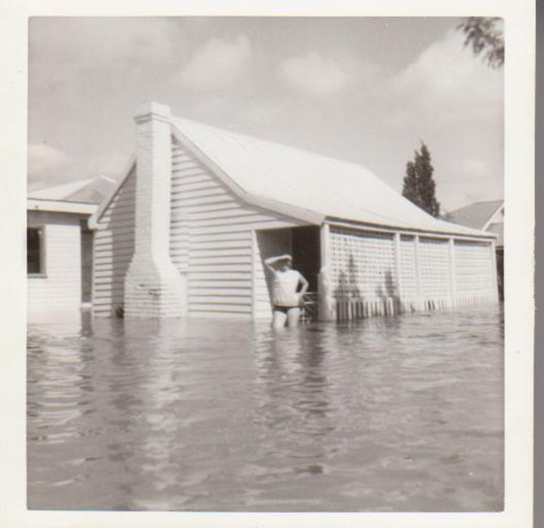
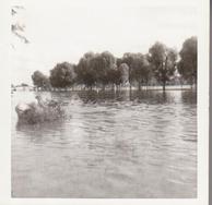
Floodwater at the old hospital. Photo courtesy of Brian Madden. |
 |
Looking towards the low level bridge and the high school (and where the RSL is now). Photo courtesy of Brian Madden. |