[Back to Narrabri Weather Home Page]

Narrabri's Thunderstorm of 20th January 2005

At 5:30 pm EDST on Thursday January 20th 2005, Narrabri endured one of the most destructive thunderstorms in the town's history. Wind gusts of 156 km/h, 2 cm hail and heavy rain were recorded during the sudden 5 minute storm. The Narrabri SES received 221 requests for assistance, with buildings damaged and massive trees uprooted throughout town.

Earlier that day, the Bureau of Meteorology had issued a severe thunderstorm warning for the area encompassing Narrabri. Other severe thunderstorms were also experienced throughout NSW, including a tornado near Coonabarabran, which has been well documented on the web by Rob McNaught and friends, and also by Michael Bath here. Also see the BoM's January 2005 Significant Weather page for a list of events on this day.

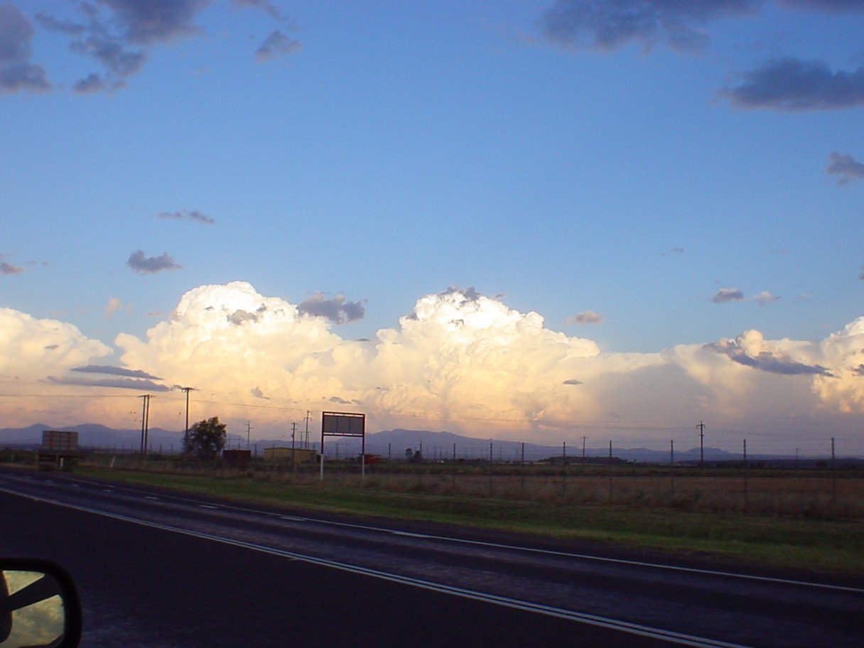
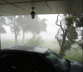
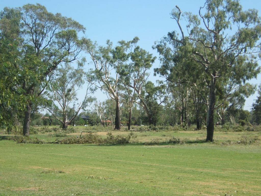
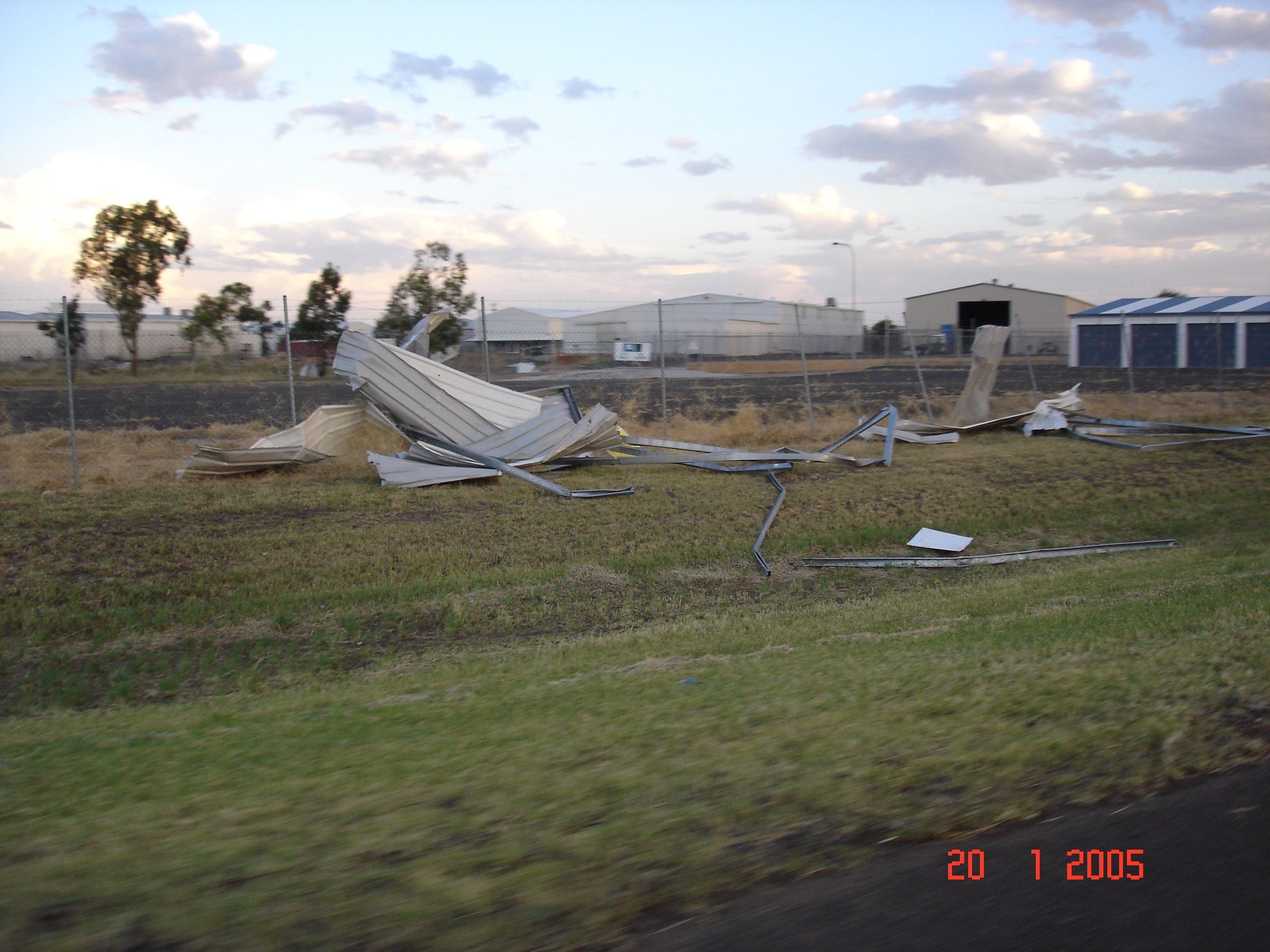
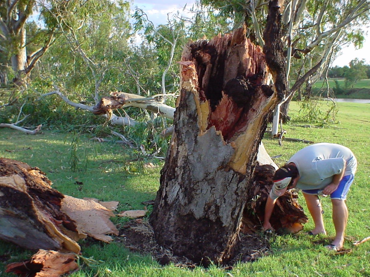
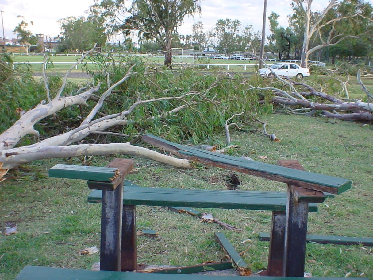
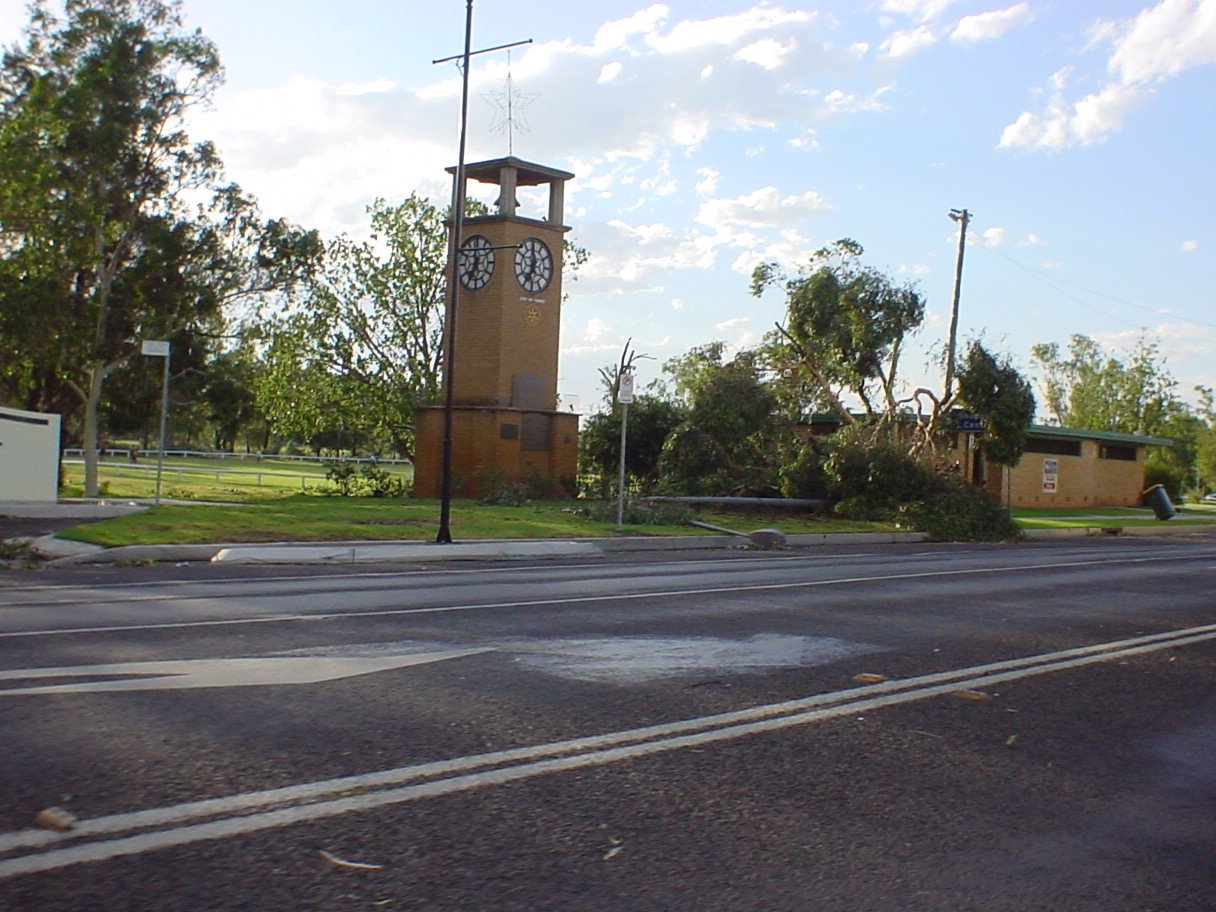
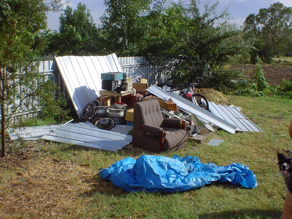
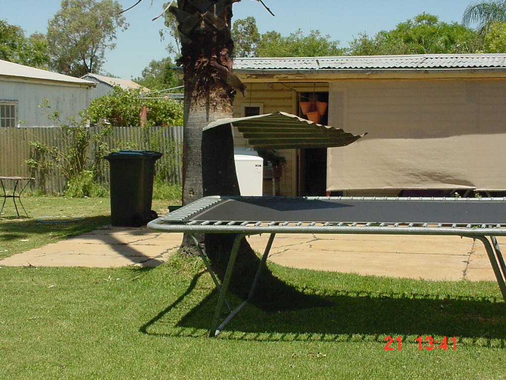
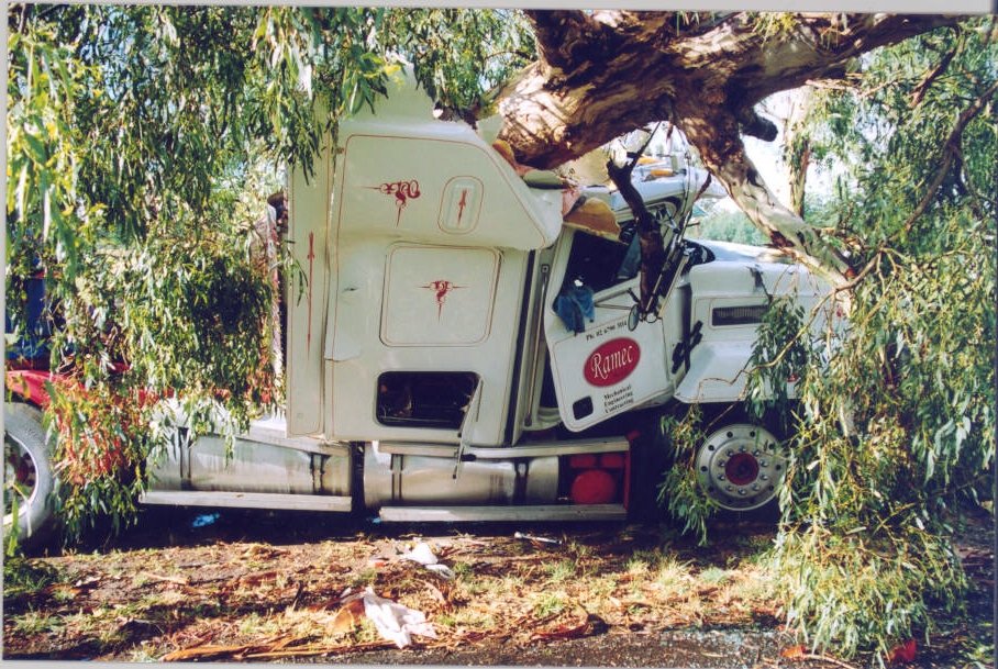
The damage was quite widespread in Narrabri, with the most intense destruction occurring in the North of town, eg around the Golf Club and Doctors Creek bridge areas. The storm also made itself felt out of town - the Myall Vale (between Narrabri and Wee Waa on the Kamilaroi Hwy) weather station recorded an 80km/h gust, with shadehouses and powerlines brought down there. There was damage on properties around the Airport, with the BoM's weather station at the Airport(?) recording 156 km/h gusts - one of the highest wind speeds ever recorded in NSW! Large trees were also smashed where the storm crossed the Kaputar Rd near Haire Drive. The strong winds clearly persisted along a ground track of at least 30km.

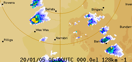
This RADAR loop from the Bureau of Meteorology shows the storm.

The winds were attributed to a microburst, which is a small-scale downburst, occurring when a parcel of dense cold air rapidly falls from a storm cell. The image to the left (from the University of Illinois) illustrates the concept.

Please contact us if you have extra information or a good photo or movie to contribute to this site!


Looking to the South-East an hour or so after the storm. The large storm cells correspond to the activity approaching Barraba on the RADAR animation above. Photo by David Brodrick. Movie!
20 second WMV (5MB) or 50 sec MPEG (18MB) movie of the microburst. Recorded near the Golf Club on Gibbon's St. Movie by Matt Reid.
Looks like a stressful day for the owner of this classic Jaguar on Gibbon's St.. although from the look of the photo it escaped with very little damage(?). Photo by Kieran Shephard. Branches down at the Golf Club. Photo by Kieran Shephard.
Destruction near Francis St. The Auscot sheds behind the sewage works were heavily damaged and commercial premises on Francis St also bore the full brunt of the storm. Photo by Matt Reid. Roof off a house on Barwan St. Photo by Matt Reid.
This big old river red gum snapped a few metres above the ground. Taken on the river behind the Crossing Theatre. Photo by David Brodrick. Different tree down, also behind the theatre/ovals. Photo by David Brodrick.
Tree and light post down near the town clock. Photo by David Brodrick. The radio tower at Peel Valley Machinery was bent in half! Photo by David Brodrick.
Dozen's of garden shed's around town were destroyed. This was my shed on Old Gunnedah Rd. Its roof ended up in the neighbours back yard! Photo by David Brodrick. Whoa! This sheet of corrigated iron got stuck in this tree right at take-your-head-off height!! Photo by Ed Paas.
A large tree fell on the cab of this truck on Kaputar Rd. Thankfully nobody was in the cab at the time. Photo by Romy Grammer. A different photo of the truck. Photo by Romy Grammer.
Several shadehouses were destroyed and power lines were blown down at Myall Vale. Photo by Oliver Knox.