 Late February saw some amazing storms, with up to over four inches of rain
recorded for the month in Walgett, Coonamble, Coonabaraban and Bingara. Narrabri
weather stations recorded between 50 and 70mm for the month.
Late February saw some amazing storms, with up to over four inches of rain
recorded for the month in Walgett, Coonamble, Coonabaraban and Bingara. Narrabri
weather stations recorded between 50 and 70mm for the month.
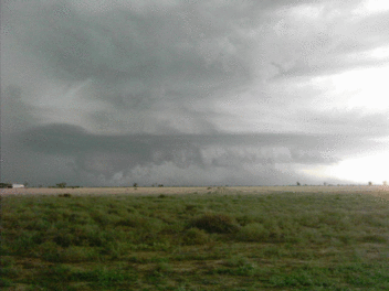
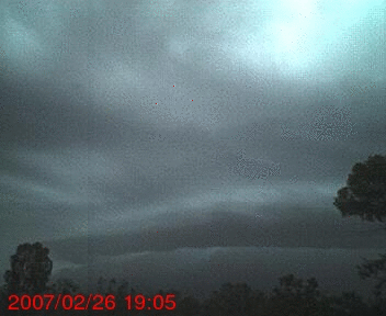
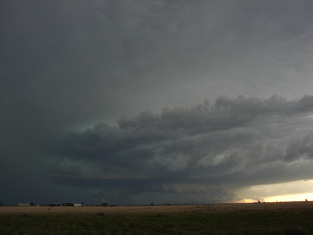
On the 26th, a morning storm dropped 6mm of rain on Narrabri. Later in the
day, remanants of a storm which hit Coonamble earlier in the afternoon,
dropping 48mm in 30 minutes and generating wind gusts of up to 98 Kph, reached
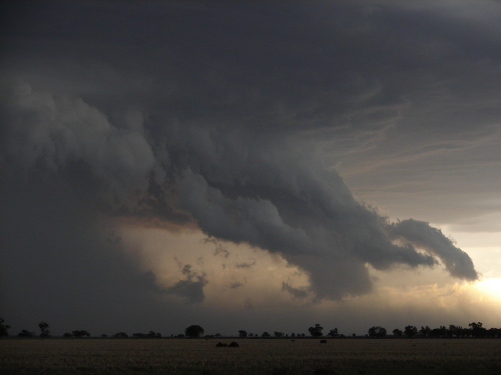
Narrabri. One of the Narrabri Weather webcams captured a great sequence of the
storm rolling in (left). The incoming shelf cloud appears to be circular and
rotating. The full AVI is HERE. Up to 36mm
of rain was recorded from this event by local weather stations.
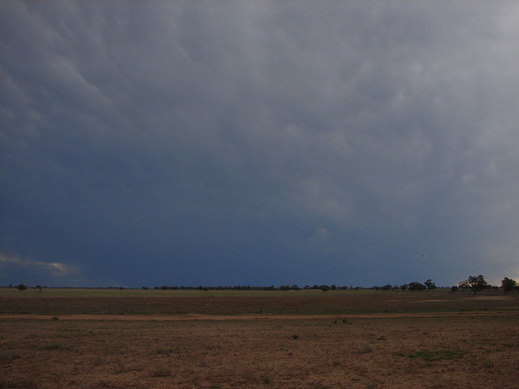
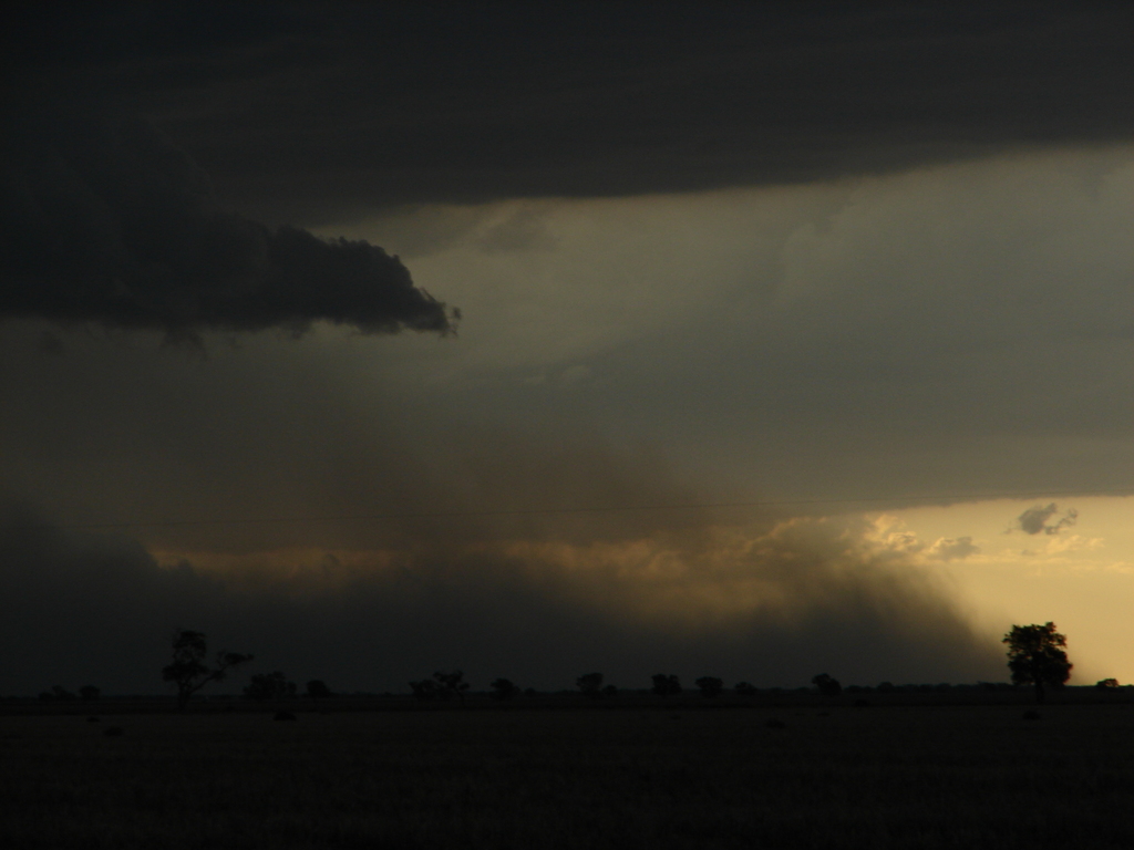
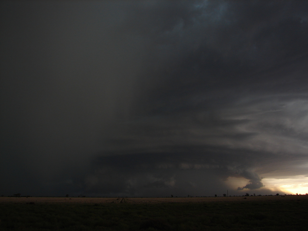
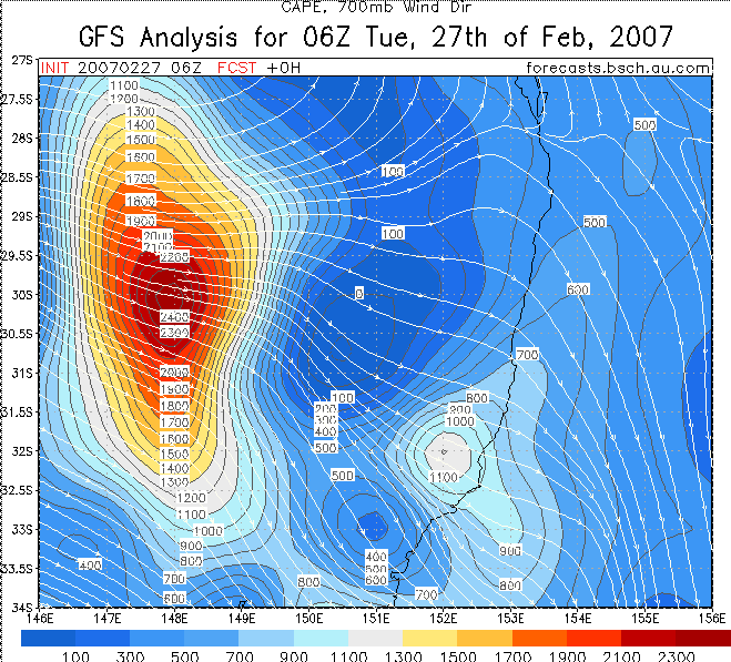
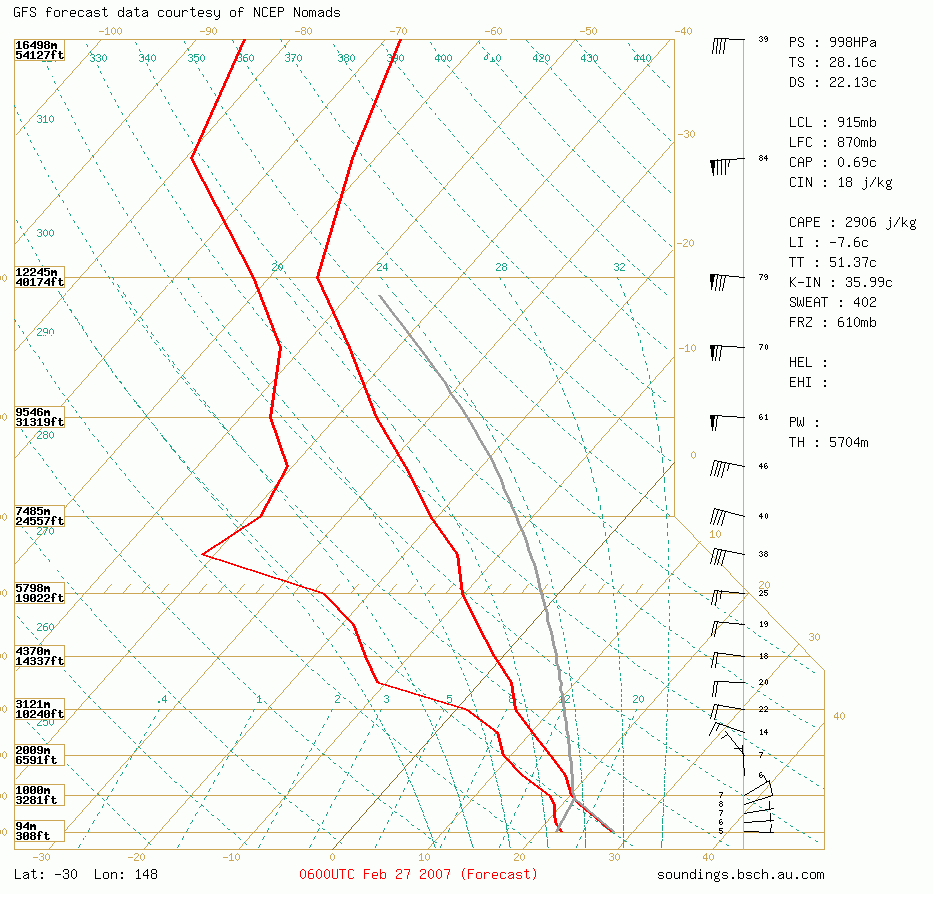
The GFS forecast models for the 27th (image HERE) showed very high storm potential in the afternoon west of Narrabri. The forecasted Lifted Index was -7.6C (lifted index less than -6C indicates the possibility of extremely intense convection) and the CAPE was 2900 j/kg, with plenty of wind shear. The 16:00 forecast sounding for the 27th is HERE. We loaded up all of the cameras and headed west to Pilliga, then towards Walgett on the Pilliga- Walgett Road. Around 50km from Pilliga we witnessed a huge cell forming. The cell quickly developed into a HP supercell and we captured some awesome shots of the storm and it's features. The GIF animation, right, shows the rotating mesocyclone. As quickly as the storm had formed, it collapsed into widespread rain, later dropping around 25mm of rain over most of the Narrabri area.
HERE is the Moree 256km RADAR loop for the storm on the 27th. The cell we photographed was the one which built up near Carinda and passed just east of Walgett. This RADAR imagery is copyright to the Bureau of Meteorology and is hosted by the Australian Severe Weather web site.
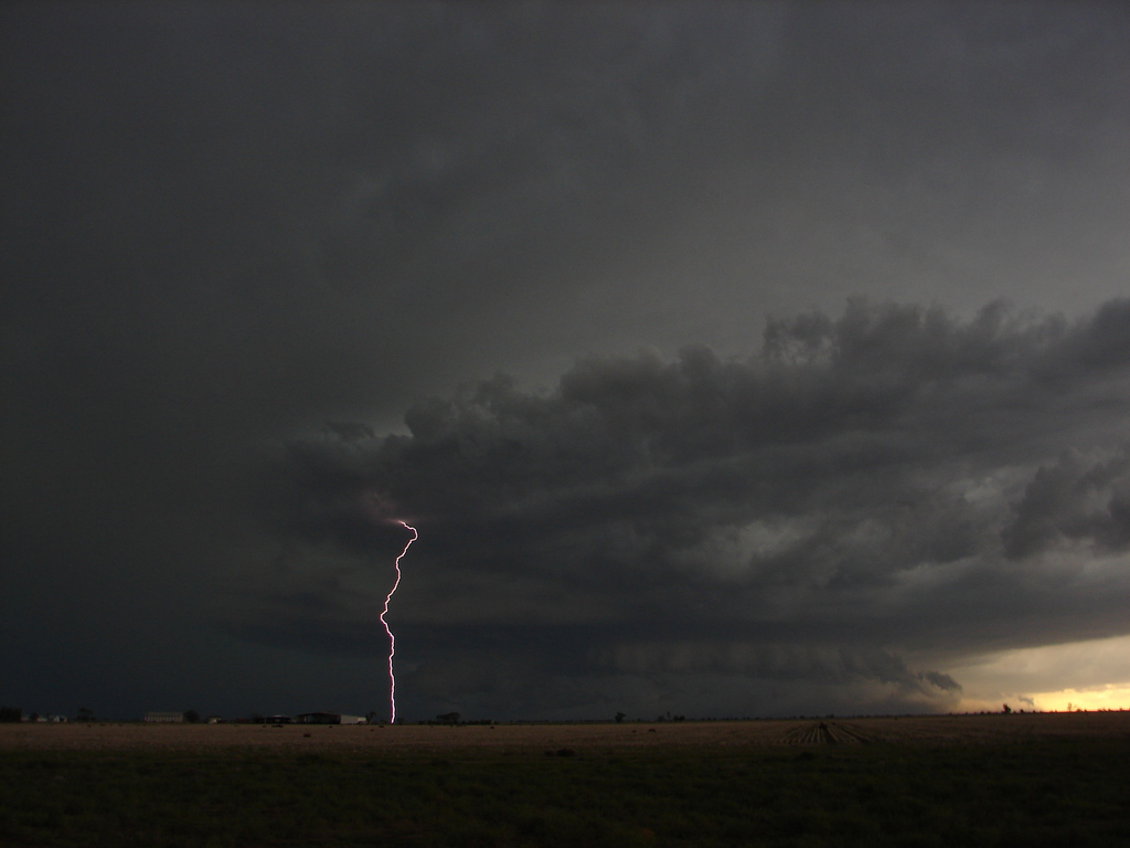
On the 28th of February, two storm cells merged right over Narrabri. The lightning detector at the Australia Telecope recorded 580 lightning strikes within 56km of the site in a 15 minute period. Most areas received an additional inch of rain on this afternoon. HERE is the Moree 256km RADAR loop. This RADAR imagery is copyright to the Bureau of Meteorology and is hosted by the Australian Severe Weather web site.
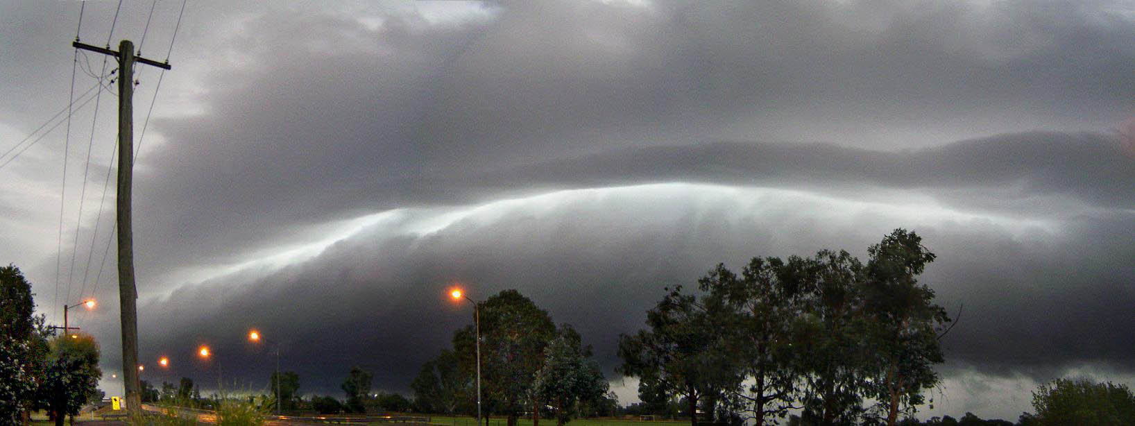
A great panorama of the storm on the 26th by Kerry Matthes. Taken from the driveway of the Kaputar Motel looking towards O'Brien's Creek Bridge & Mooloobar Street, Narrabri West.
 |
The cell on the 28th. Taken from the Pilliga-Walgett Road. Photo by Chris Allen. | 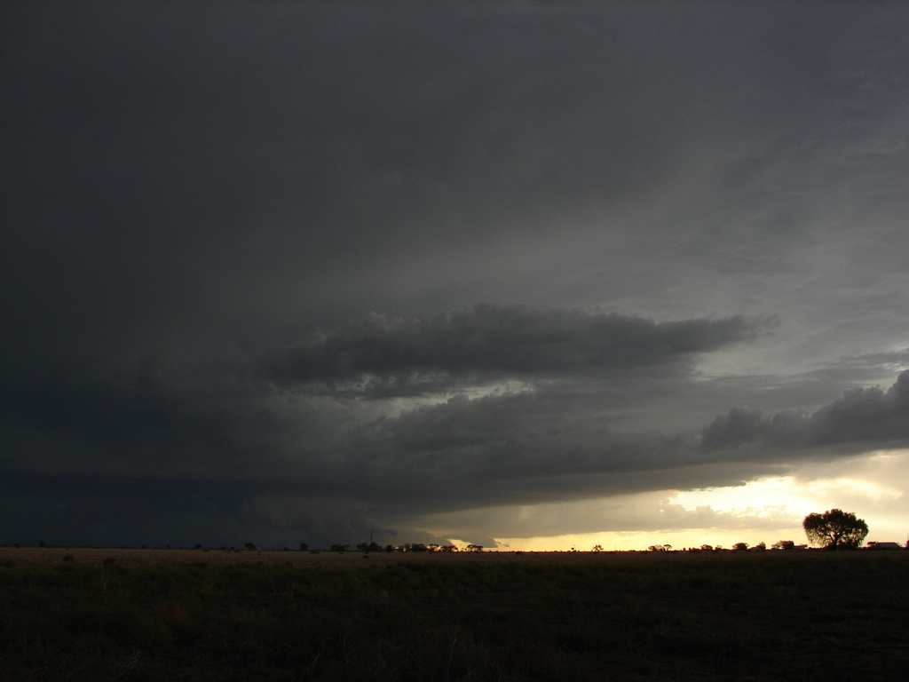 |
Nice shot of the inflow area of the cell as it was building. Photo by Chris Allen. |
 |
Awsome shot of the entire cell. Note the greenish tinge to the clouds on the left. Photo by Chris Allen. |  |
Close-up view of the base features at the rear of the rain-free base. Photo by Chris Allen. |
 |
There was a significant amount of electrical activity associated with this supercell, both cloud to cloud and cloud to ground. Photo by Chris Allen. | 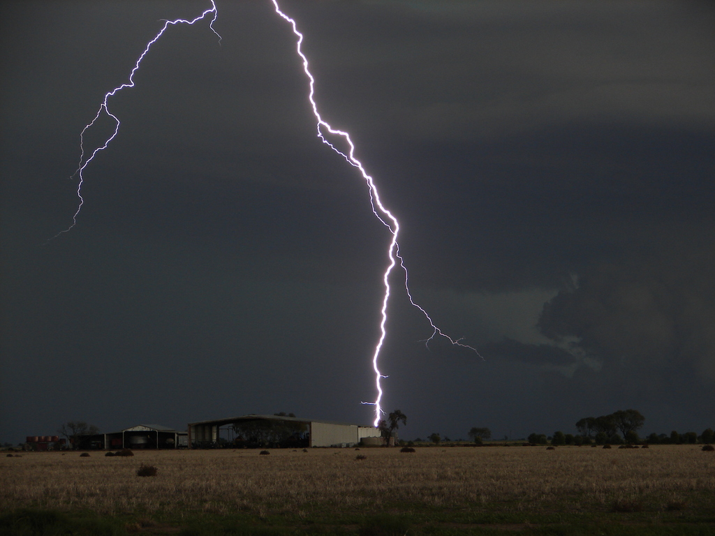 |
Cloud-Ground (CG) lightning strike. Photo by Chris Allen. |
 |
Awsome shot of a CG strike at the rear of the supercell. Photo by Chris Allen. |  |
Strong winds were evident by the dust that was stirred. Photo by Chris Allen. |
 |
Close-up shot of the dust being stirred up by strong winds. Photo by Chris Allen. |  |
The entire cell, with persistent greenish tinge. Photo by Chris Allen. |
 |
The supercell as it began to collapse with a very violent microburst(?). Photo by Chris Allen. | 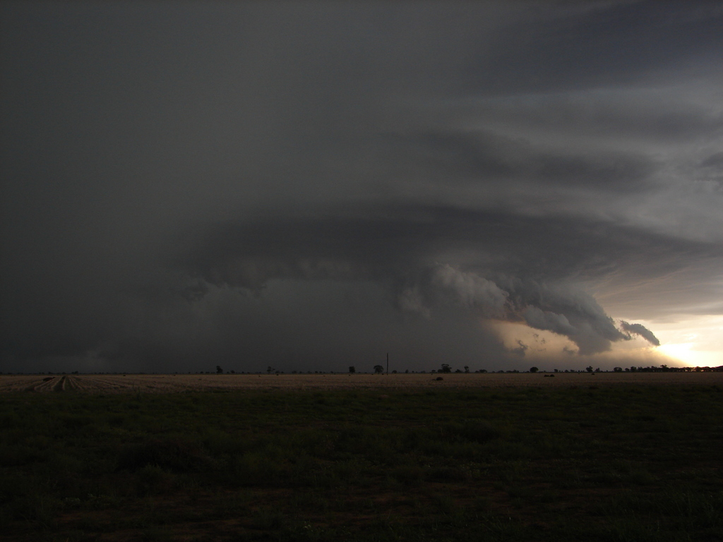 |
More of the same. Photo by Chris Allen. |
 |
Close up of the lowering at the front of the supercell. Photo by Chris Allen. | 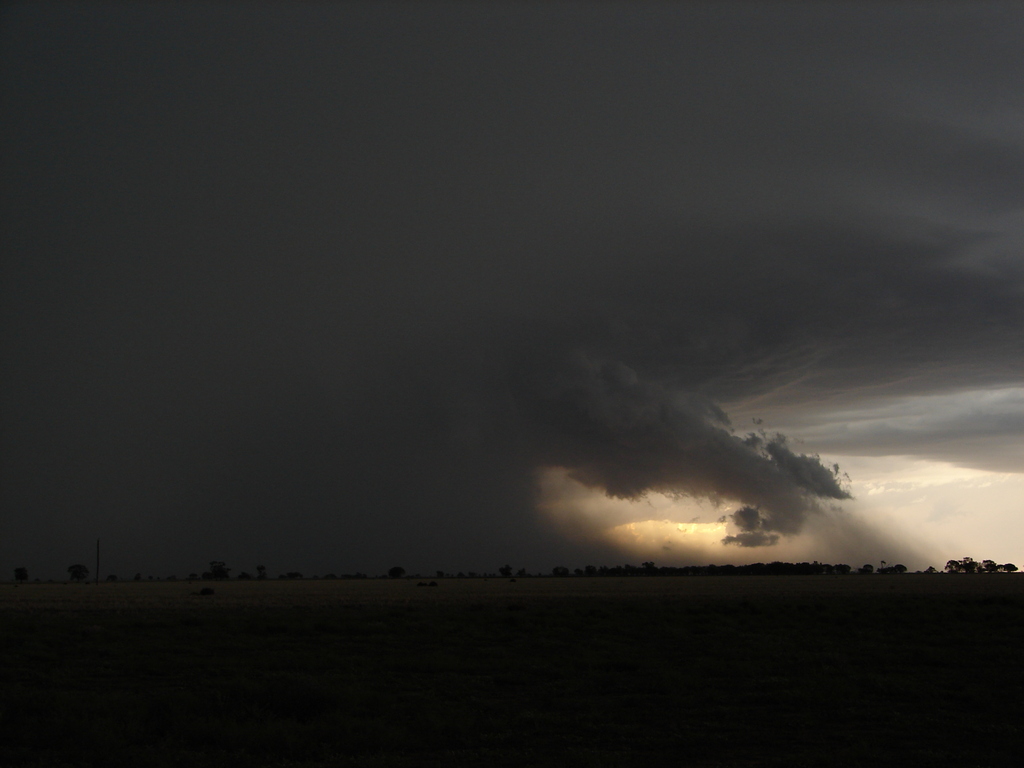 |
Rainfall/microburst. Photo by Chris Allen. |