Flooding in Summer of 2010/11
Flooding in Early December
By late November 2010, with a strong La Nina event in progress, conditions were pretty wet. Much of the local area was sitting on about 180mm for the previous three months and Lake Keepit was nearing capacity. A widespread week of substantial rain late November and into December saw much of NSW experience the worst flooding for many years. The rain was estimated to have wiped $500M off the value of winter crops in NSW which were waiting to be harvested.Falls of up to 95mm in a single day were recorded in the local area and some weather stations recorded more than 200mm in the week. Heavy rainfall north of Coonabarabran and around Tambar Springs saw a massive amount of water go into Cox's Creek and a substantial flow into Bohena Creek. This inflow into the Namoi River together with increased inflow from the Mooki led to major flooding in the Wee Waa area, with a peak of 6.9m recorded at the Glencoe river height gauge on the 8th of December. At Narrabri the flooding reached a minor flood level of 5.5m on the Narrabri Creek gauge, peaking on the 7th of December.
This flooding, together with local runoff, caused a large number of roads to be closed in the Shire and Pilliga and several properties were isolated for a number of days. The Kamilaroi Highway between Narrabri and Wee Waa was closed at Glencoe Crossing on the morning of the 7th at a river height of about 6.5m.
On the night of the 9th/10th heavy rain dropped another 30-70mm across the Shire. The following morning another band of rain delivered falls of up to 40mm. Falls of up to 120mm were reported from Gunnedah while Tamworth also recorded about 100mm. This additional rain kept the river at about 6.9m at Glencoe for an extended period.

River heights at Wee Waa (Glencoe) |

River heights in Narrabri |
 |
Tarriaro Bridge after the peak. The river may have dropped about 30cm at this stage. Photo by Chris Allen. |  |
Maules Creek Rd after the peak. Photo by Chris Allen. |
 |
Flooding off the road out near Wallah. Photo by Chris Allen. | 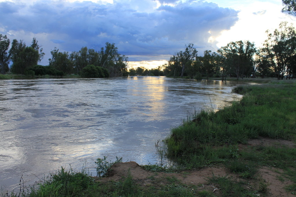 |
Powell's Reserve. Photo by Chris Allen. |
 |
Whirlpools and turbulence in the water at Powell's Reserve. Photo by Chris Allen. | 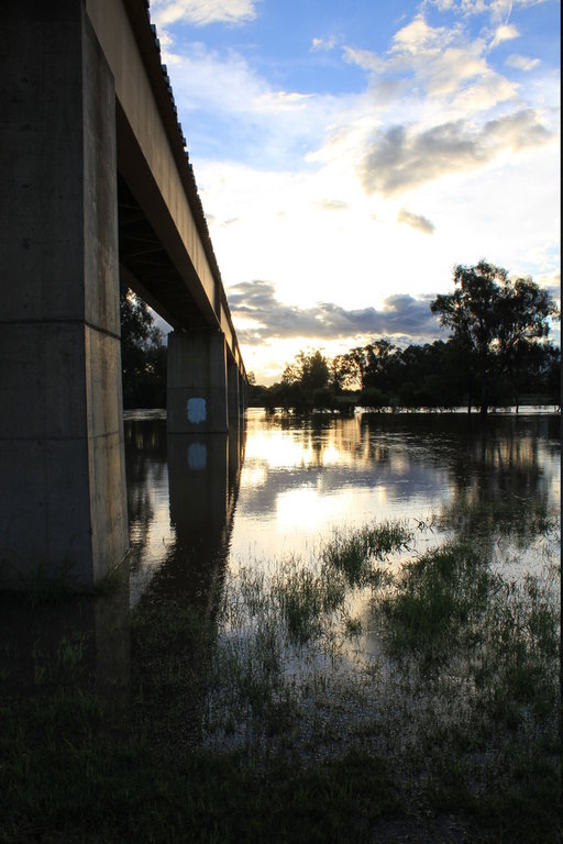 |
Evening photo near the big railway bridge in Narrabri. Photo by Chris Allen. |
 |
Debris and waves over the low level bridge in Narrabri. This was only a couple of hours after the peak. Photo by Chris Allen. | 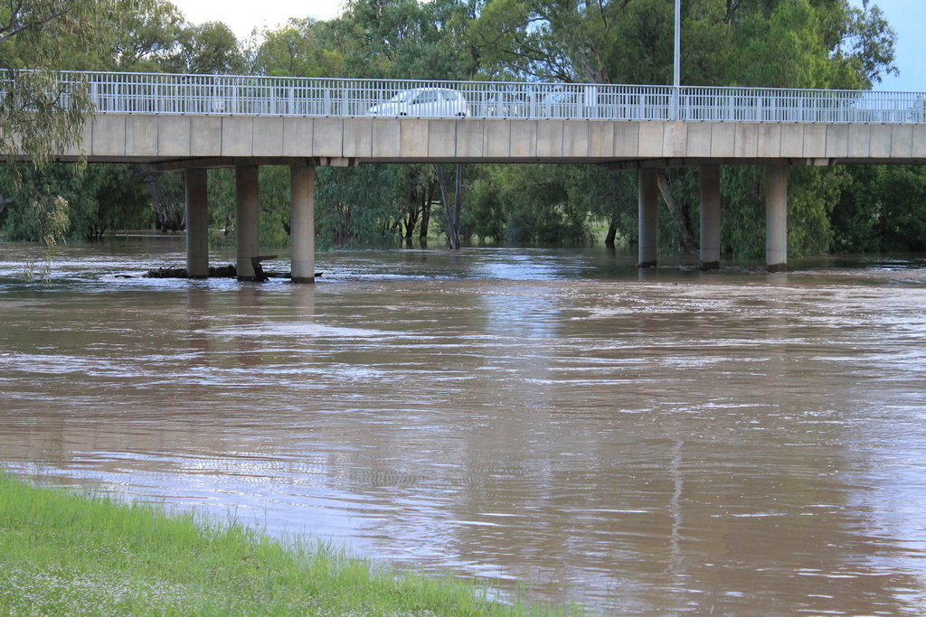 |
Photo under the big bridge in Narrabri. Photo by Chris Allen. |
 |
Flood water approaching the Crossing Theatre. Photo by Chris Allen. | 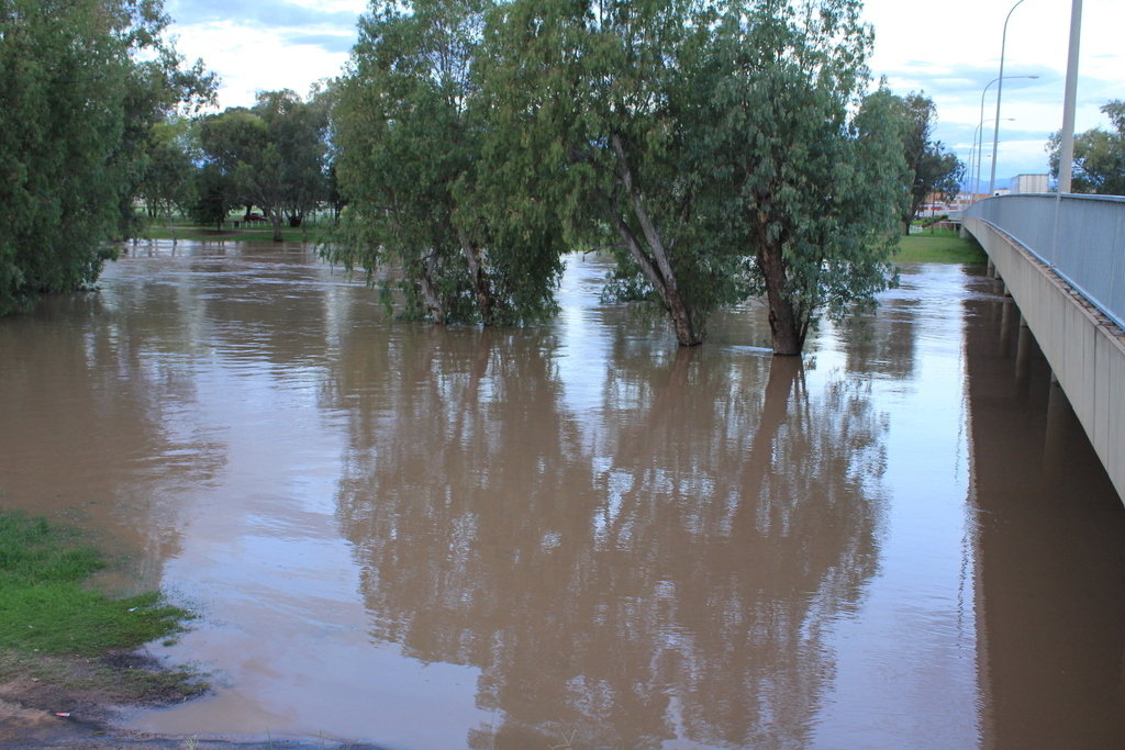 |
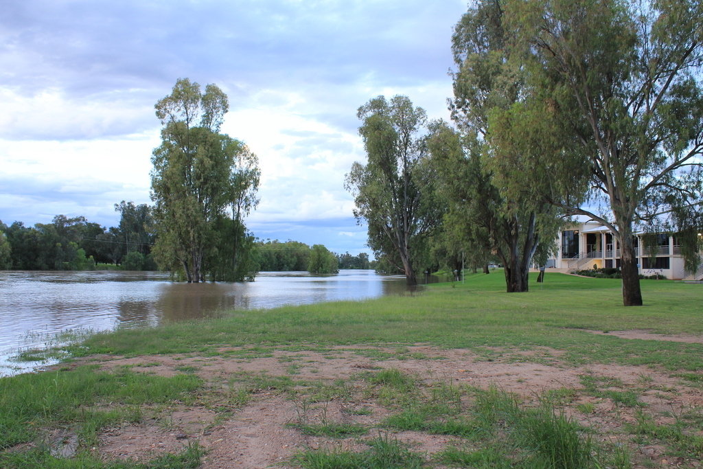
View of Cameron Park. Photo by Chris Allen. |
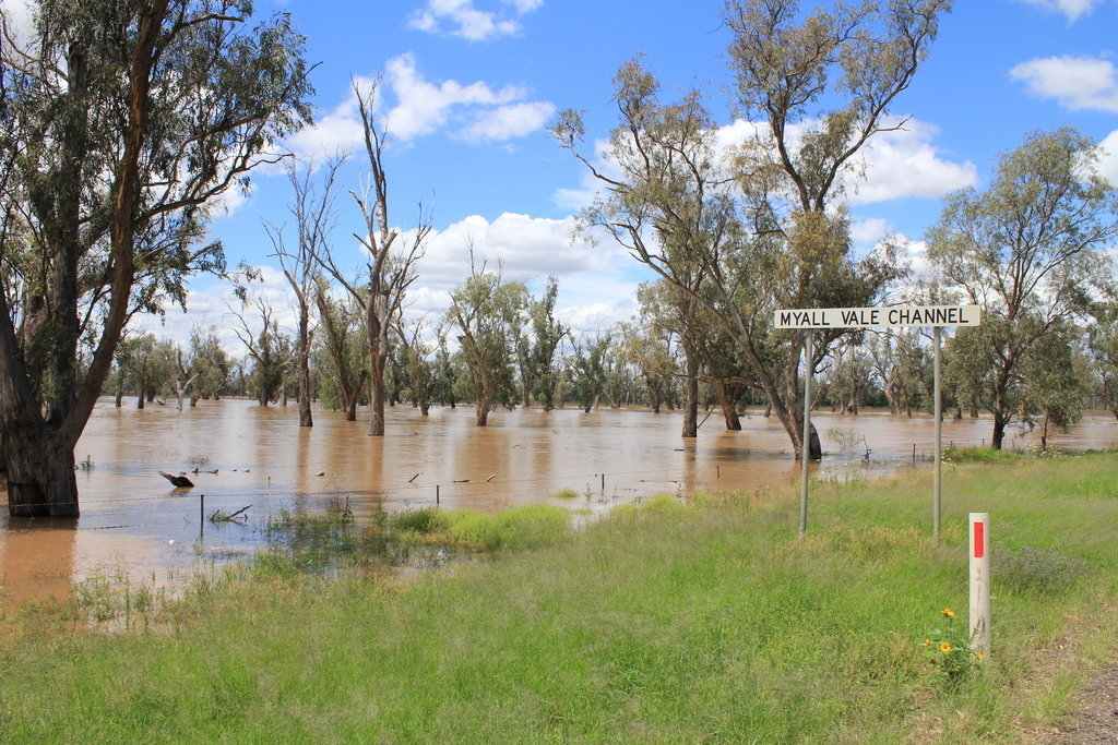 |
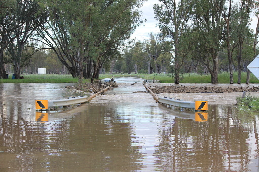
Myall Vale Channel on the Wee Waa Rd at about the peak of the flood. At this stage the Glencoe river gauge was reading about 6.9m. Photo by Chris Allen. | 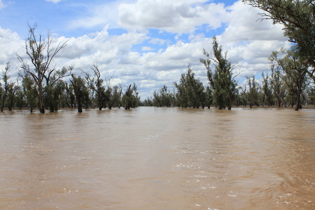 |
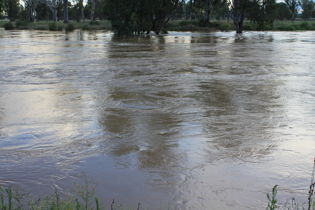
Another view out near Myall Vale Channel. Photo by Chris Allen. |
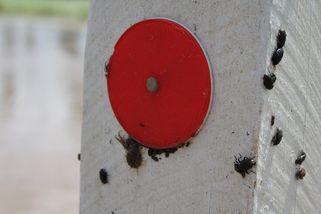 |
An assortment of bugs happy to find some high ground. Photo by Chris Allen. | 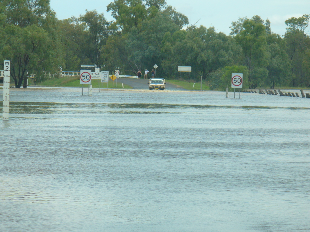 |
Flooding at the Lagoon at Wee Waa at the peak of the flood. Photo by Shane Kable. |
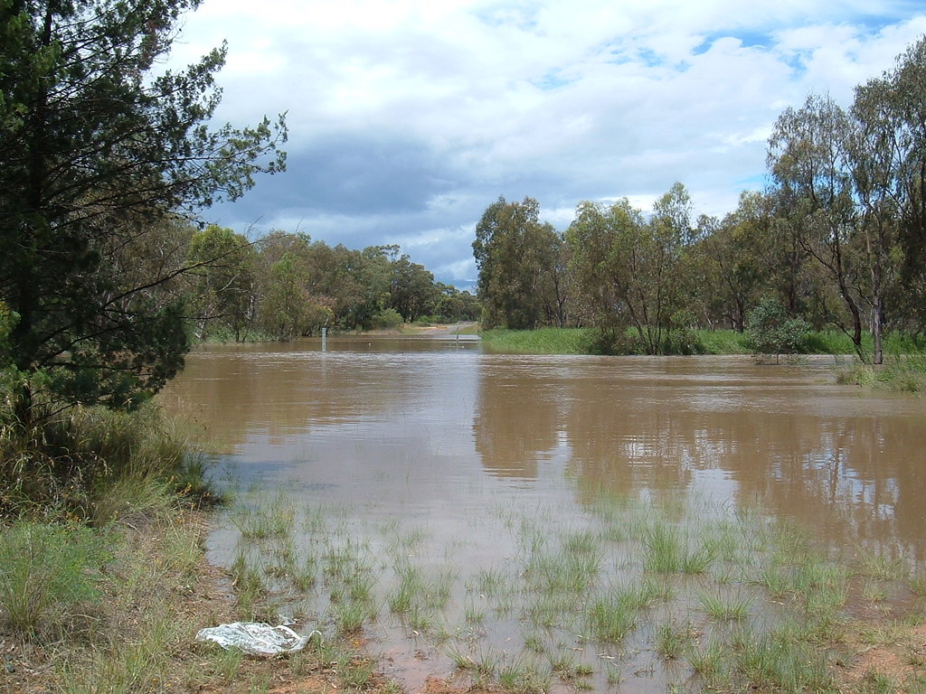 |
Bohena Creek on the Yarrie Lake Rd, with almost 1m of flow. Photo by Robin Wark. |  |
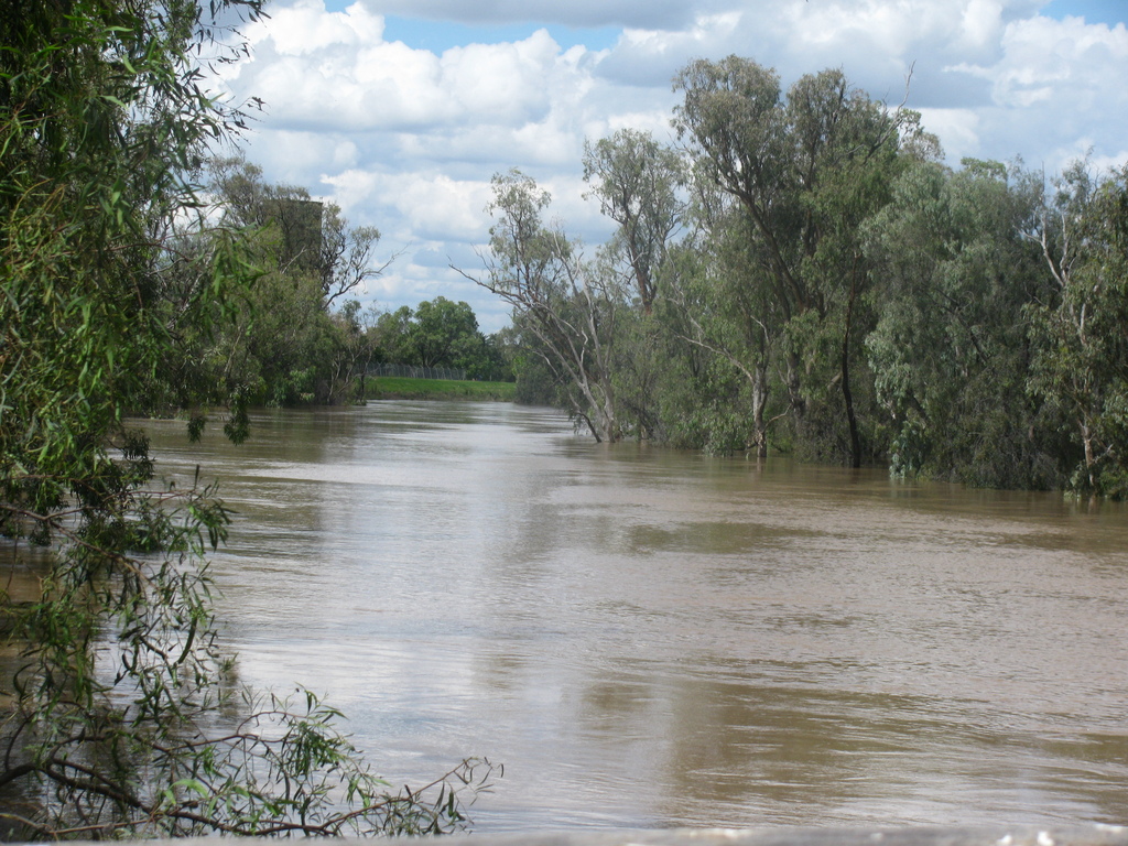
In Narrabri, looking over the river towards Cameron Park. Photo by Daniel Santillan. |
 |
The flooded approach towards Harparary Bridge. Photo by Hannah Clarke. | 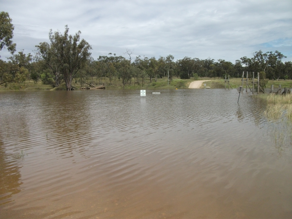 |
Tullamullen Bridge on the Old Narrabri Rd. Note how the old swinging bridge, long since defunct, would still be high and dry! Photo by Hannah Clarke. |
 |
Flood water looking up the Wee Waa Lagoon. Photo by Jack Hawkins. | 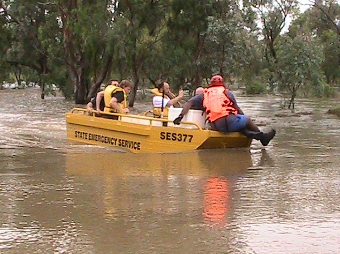 |
Wee Waa SES at the Glencoe Causeway ferrying people across the flooded road. Photo by Jayne Lovelock. |